Tools for ArcGIS Pro
A set of tools for working with geometry and attributes in ArcGIS Pro. The focus is largely on geometry operations. No advanced license is required.
Maintained by Dan-Patterson
polygon_line_tools
Tools for working with polygon and polyline tools
Note Most of the functionality has been incorporated in the numpy geometry links. This is kept intact for historical aspects.
Last update 2018-09-12
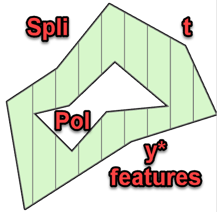
Added split by area to the split poly* features tool. I will update with images and explanation when I get a chance.
Densify by Factor and Features to Points
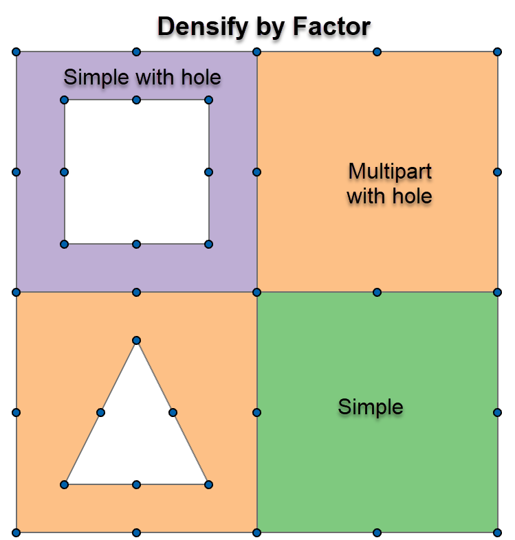
Densify poly* features by a factor between the existing nodes. The points on the image show the result when converted to points.
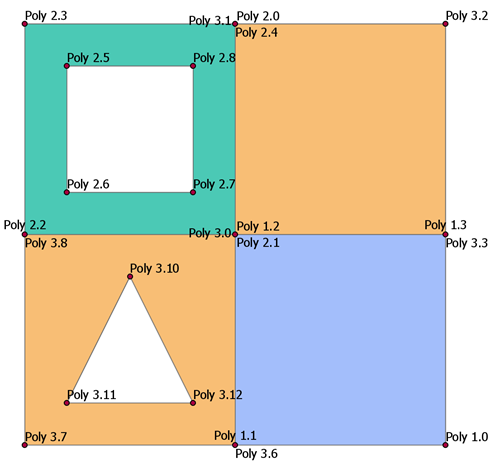
The poly* to points retains the original poly feature ID then adds a new column with the point ID for that feature. The labelling was simply a concatenation of the two bits of information.
Split Poly* Features*
Split poly* features based on a width or height factor.
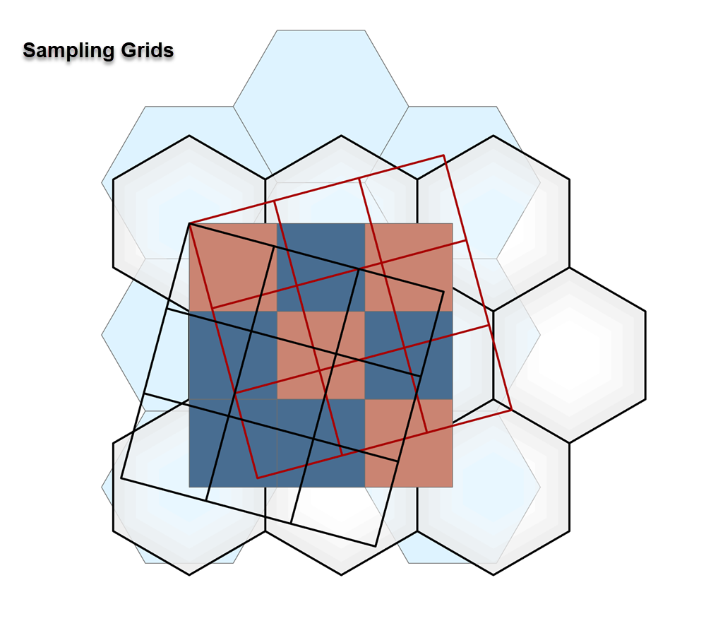
Sampling Grids
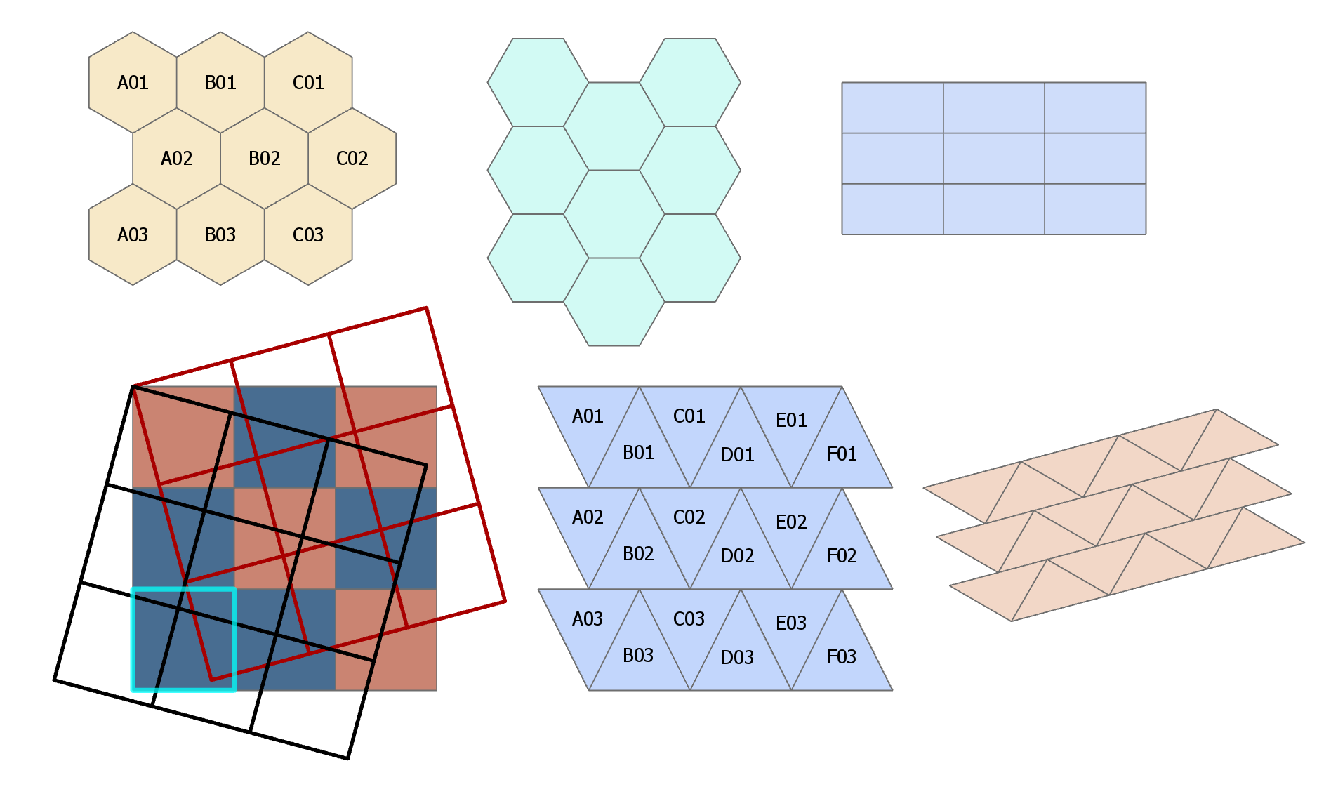
Produce sampling grids as rectangles, hexagons (two types) and one triangle form. Rotation is supported and the features are given a spreadsheet-line labeling code.